I’ve had my eye on the Vernooy Kill State Forest for some time now, but have never had the time to actually go and explore it. I finally decided to check it out this past weekend. What makes this forest particularly interesting is that it is a relatively recent acquisition by the NY Department of Environmental Protection. This 5,400 acre plot of land was acquired by the State in 2002 and made part of the Catskill Forest Preserve. Prior to that is was the private property of NY restaurateur Frederick W.I. Lundy and was known as the Lundy Estate prior to its acquisition. If we go even further back in history, the land was owned by several Dutch families and there are stories of abandoned town, Potterville, from that time being hidden somewhere in the forest. Since the land was in private ownership for so long, the information on it is still not particularly good, and much of it has changed as the land was been reclaimed by the forest. So, I decided to take a look and see as much of it as I could.
The first problem in planning my trip was that the available maps differ significantly. When people look at something like Google Maps, they imagine that the green portions on the map are forest, while the white portions are not. That is only partially true. The green portions are publically owned land. The forests themselves are much larger, but the portions in while are privately owned. Well, when it comes to the Vernooy Kill State Forest, the lines differ significantly based on what map you look at. On top of that, significant features such as lakes are present on some maps and not others. Based on my trip this past weekent, I can tell you that Google Maps is way off. The most accurate map (still, only somewhat accurate) is the NY-NJ Trail Conference Map #143.
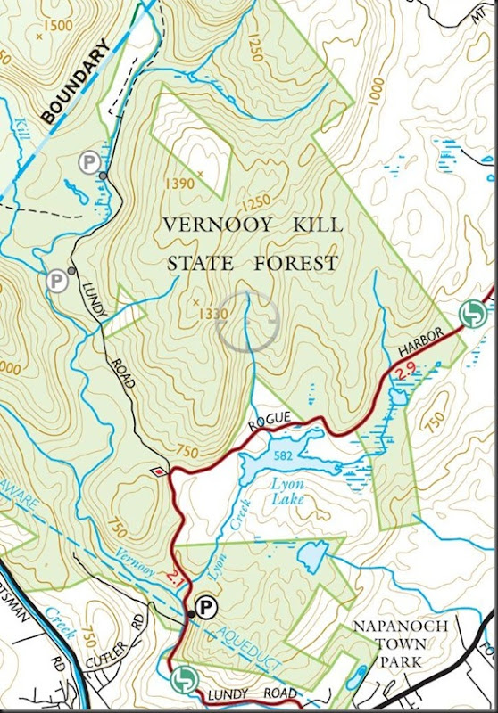
I accessed the forest from the south, using Lundy Road. The first parking area (P) you see on the map is exactly where it is indicated. It will fit three or four cars. I continued to drive up and in effect following the Long Path, marked in red on the map above, taking the turn onto Rogue Harbor Road. My goal was to explore Lyon Lake, which on Google Maps is marked as being public land. Well, it’s not. As indicated on the above map, it is privately owner and clearly marked. There are however several small parking spots (flat pieces of ground) along the road that you don’t see on the map, which I’ve marked on the image below. My ultimate goal was that smaller unnamed lake east of Lyon Lake. That is where my trip would start, circled in red.
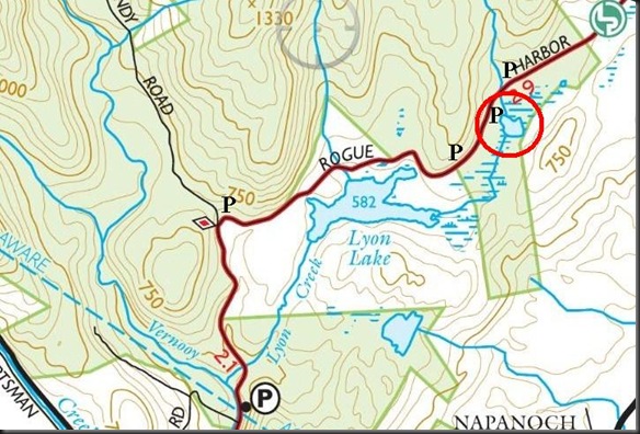
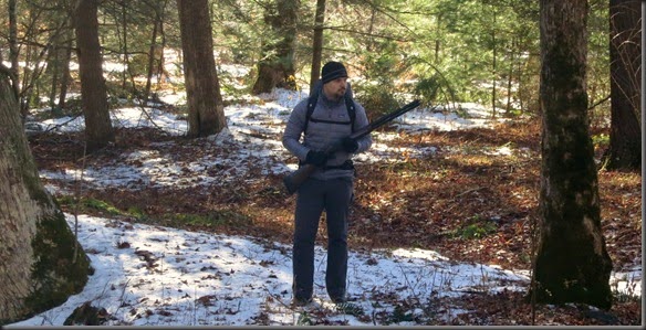
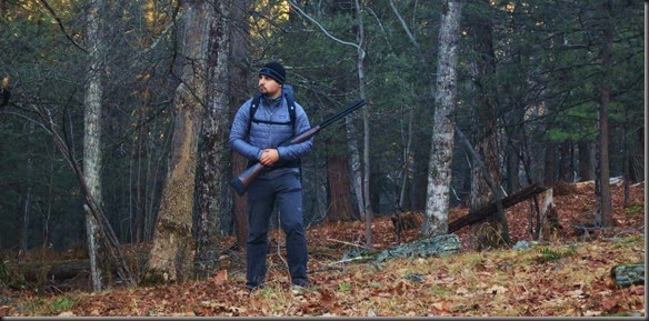
Luckily, there was a small area where I could pull over from the dirt road near the lake. It was a bit over 32F (0C). We have had temperatures fluctuate a lot lately, going from a lot of snow and cold to rain and warmer temperatures. Some small game is still in season, so I brought my shotgun just in case. I also brought my portable trapping kit. I haven’t had a chance to do any testing with it, so I figured I would at least see how easily it can be carried on this trip.
As I was about to head towards the lake, I noticed a worn out sign on a tree on the side of the road. It is visible only from the east.
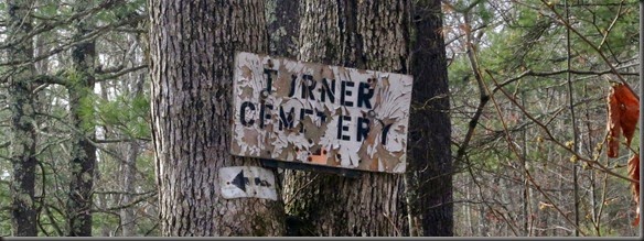
I started bushwhacking in the general direction of the arrow. There were no further signs or indications of direction, but after some roaming around I stumblem across two graves.
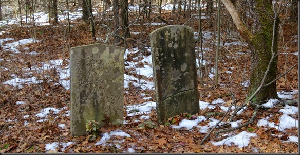
One of the stones was completely worn out, but the other indicated that this was the grave of Jacob Turner, born May 24, 1786, and died January 28, 1870.
Since I was already headed in the direction of the lake, I kept bushwhacking south. Fairly quickly I reached the “lake”. Well, it turns out it’s not actually a lake, but rather a marsh.
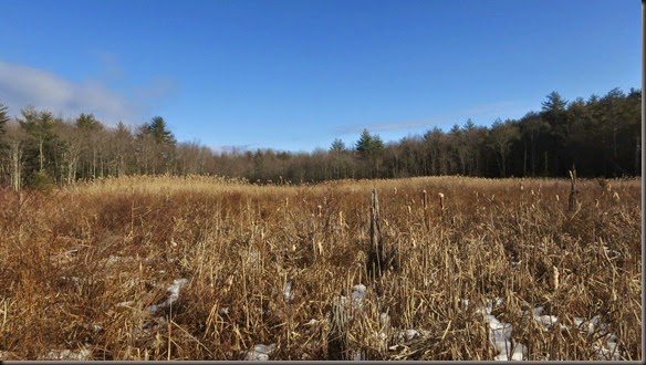
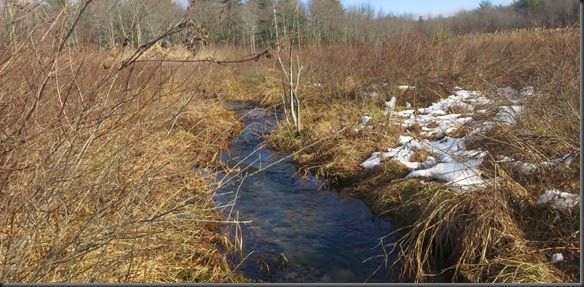
I walked across the whole area, so other than some small streams intersecting the area, there is no lake here.
My curiosity satisfied, I decided to start moving north. There are two small lakes marked on the map, and I wanted to see them. I followed the dirt road north. Along the way you can see some indications that this was privately owned land. There are a few abandoned structures dispersed along the road and through the forest.
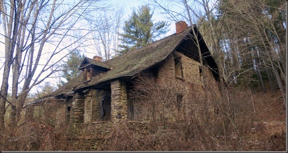
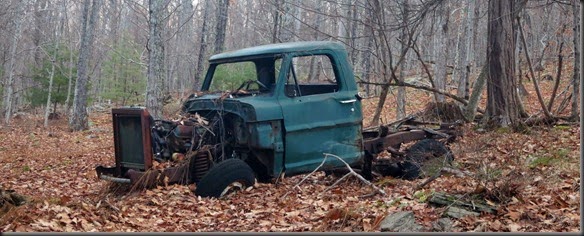
I walked north until I reached the place marked as the most northern parking spot on the map, which is just a small piece of leveled ground next to the dirt road. From there I cut west towards the first lake.

The river you see next to the road on the map actually turned out to be much wider and deeper than I had expected. I got pretty wet during the crossing.
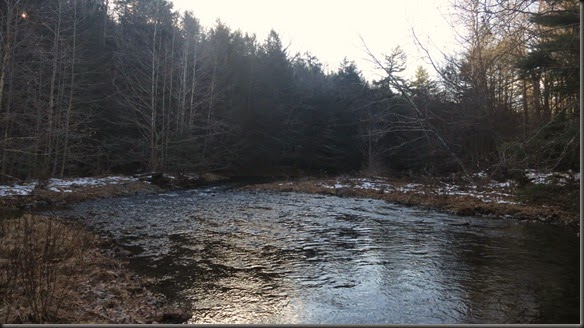
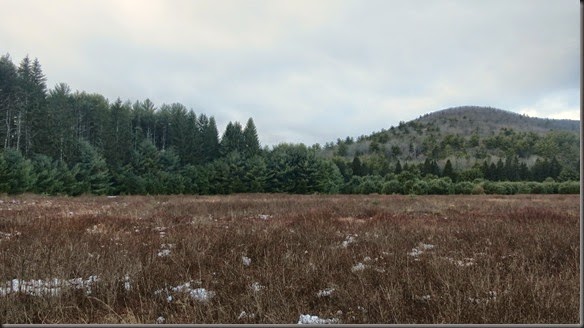
After pushing through the forest on the other side, the land opens up into what clearly used to be fields. The DEP website indicates that this forest is stocked with pheasant. I’m assuming that this is the area where they are released.
After pushing through some more forest, I reached the lake. It was frozen over.
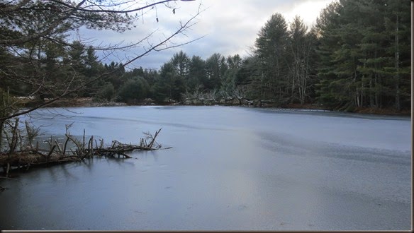
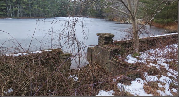
The lake was clearly created artificially with the use of an old dam. I doubt it will last much longer. It was already falling apart and moving under my feet as I walked over it.
There are a few spots in the forest that are still privately owned. The big one around Lyon Lake I mentioned previously, and some smaller spots you see as white plots on the above map. Again, Google Maps fails to account for those property lines, but they are clearly posted.
I doubled back and crossed the river again. I started following it up towards the next lake marked on the map. For part of the way the river parallels the trail/dirt road and then turns east. I bushwhacked along the river until I reached the lake. The terrain is easy because it is predominated by large pine trees, which give you plenty of room to travel.
The lake itself was a nice surprise. Based on a previous two lakes, and the fact that this one appeared much smaller on the map, I was expecting either a frozen puddle or a swampy marsh. Instead, I found a good size lake fed by a fast moving river.

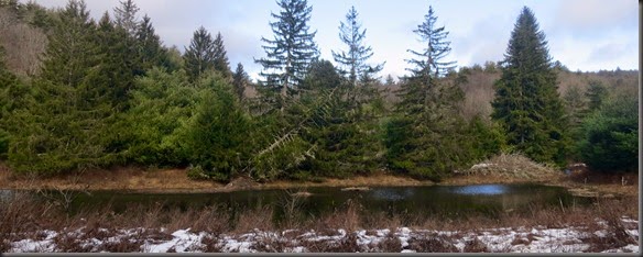
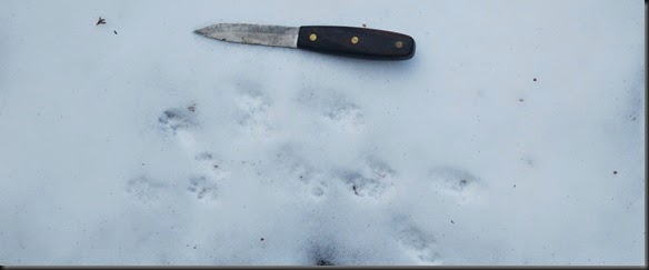
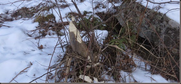
There were a lot of bear tracks and sign in the area as well as what looked to be mink activity. I saw very few signs of muskrat, which disappointed me as it looked like good muskrat territory. There is probably at least one colony there though.
I kept following the river upstream. Gradually it diminished in size and turned into a stream.
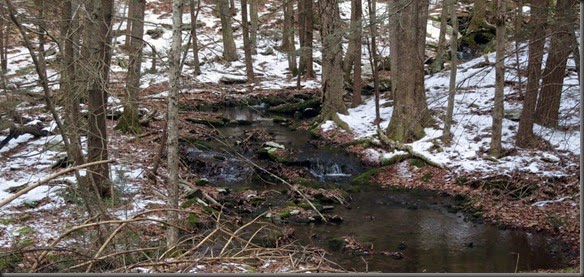
I figured that’s as good of a place as any to set up camp for the night. I built a small fire for cooking and in case there were any bears hanging out nearby.
I had some thoughts about going back to the lake and setting up some traps, but it was getting too late, so I decided not to bother.
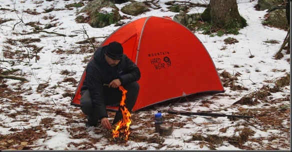
I had only brought my three season sleeping bag. I figured that together with my coat I would be warm enough. During the night the temperature dropped to about 20F (-7C), and at times I was a bit cold.
The next day I just made my way out of the forest. I bushwhacked the whole way because I wanted to see if I could get a squirrel or two. Squirrel activity actually wasn’t bad at all, but unfortunately all the ones I could spot flushed out out of range.
So, these are my notes on the Vernooy Kill State Forest. Maybe next time I’ll go further up north and look for that abandoned town.
The only new set of gear was my trapping kit. I didn’t end up using it due to time constraints, and didn’t really expect to. I mainly wanted to see how easy it would be to carry. It packed down surprisingly small, and fit with the rest of my winter gear in the 40L pack. Obviously it adds some weight, but it wasn’t all that noticeable during the trip.
